


06 Oct Aguas! Watch out for the rain this week
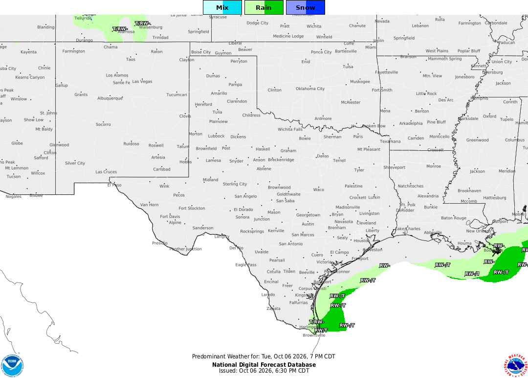
A threat of flash flooding and hazardous coastal conditions continues across the Lower Rio Grande Valley today as a slow-moving weather system stalls over the Texas coast.
The National Weather Service in Brownsville maintains a Marginal Risk for excessive rainfall through Tuesday night, following heavy coastal rain and dangerous surf conditions across Cameron, Willacy, and Kenedy counties. Meteorologists strongly warn residents and beachgoers to stay out of the water due to life-threatening rip currents.
A stationary front parked along the lower coast will keep rain and thunderstorm chances elevated through late in the week, with the heaviest bands settling over the Lower Valley and immediate coastline. While the rain brings needed drought relief, high rainfall rates could trigger quick localized flash flooding.
Eastern Cameron and Willacy counties could see total accumulations of 2 to 3 inches, while the rest of Deep South Texas can expect 1 inch or less. Additional daily rainfall should remain at or below an inch through the weekend.
While forecasters are confident the overall pattern will maintain scattered storms, exact daily rainfall locations remain difficult to pinpoint.
Officials advise residents to clear stormwater drains, secure loose outdoor items, and check vehicle tires and windshield wipers. Meteorologists also urge drivers to exercise extreme caution on coastal roads, reminding the public that as little as six inches of moving water can sweep a vehicle away.
No Comments